Research-grade coral reef monitoring data, collected repeatedly, safely and at scale
Coral reef monitoring is changing. Research teams are increasingly challenged to survey larger areas, revisit sites more frequently, validate habitat maps, monitor restoration outcomes and collect the long-term datasets needed to support conservation and management decisions.
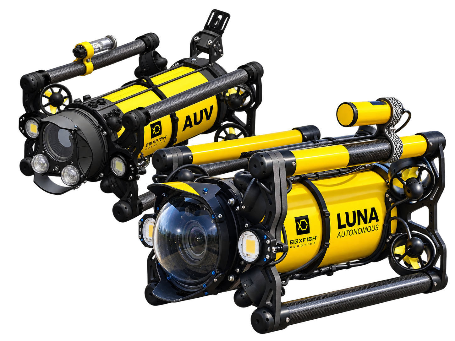
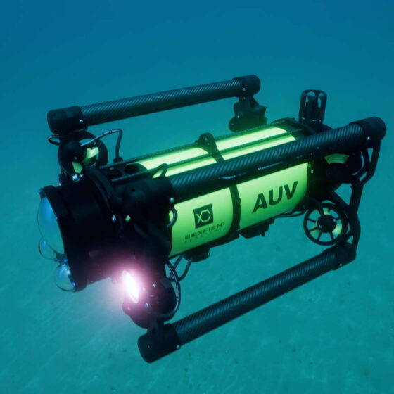
The Boxfish AUV is designed to help coral reef scientists move towards collecting repeatable, high-quality imagery, environmental data and survey video across reef habitats, restoration areas, protected sites and artificial structures. The Boxfish AUV combines precise navigation, terrain following, hovering capability and obstacle avoidance to operate safely around complex reef structures while maintaining consistent image quality.
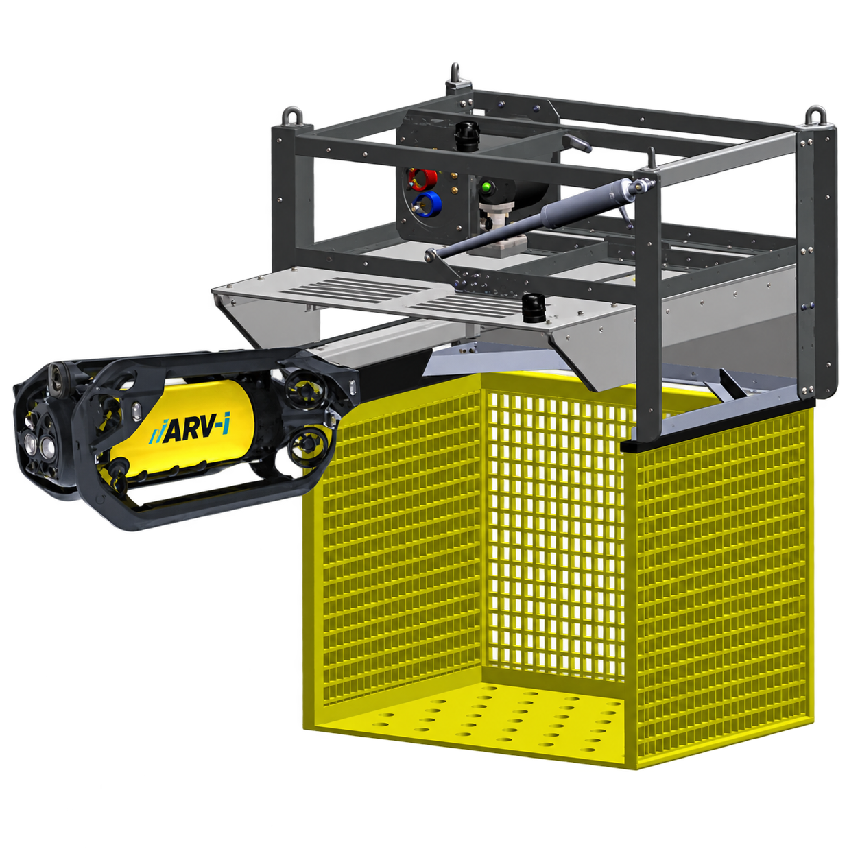
For programmes requiring regular surveys over months or years, Boxfish also offers the resident ARV-i platform. Designed for autonomous docking, in-dock charging and data transfer, the ARV-i can remain deployed in the field and conduct scheduled surveys without requiring a vessel mobilisation for every mission. This approach can increase survey frequency, reduce operational costs and help researchers build consistent long-term records of reef condition, restoration progress and environmental change.
Why autonomous reef surveying matters
Coral reefs are complex, changing environments. Traditional diver-based surveys remain essential, however they can be limited by depth, time, weather windows, site accessibility, diver availability and the need for consistent repeat measurements.
Autonomous underwater vehicles can help to:
collect repeatable transects across the same sites over time
reduce reliance on diver time for repetitive survey work
extend observations across more reef patches and monitoring stations
capture imagery in a consistent way for photogrammetry and AI workflows
combine visual data with environmental sensor data
ground-truth remote or airborne reef mapping with in-water observations
For reef programmes that need evidence for conservation, restoration, impact assessment or protected-area planning, the Boxfish AUVs provide a practical way to collect high-quality data from the places that matter most.
Collect overlapping still images over reef terrain for 3D models, habitat mapping and structural complexity assessment.
Coral Reef Survey and Monitoring Applications
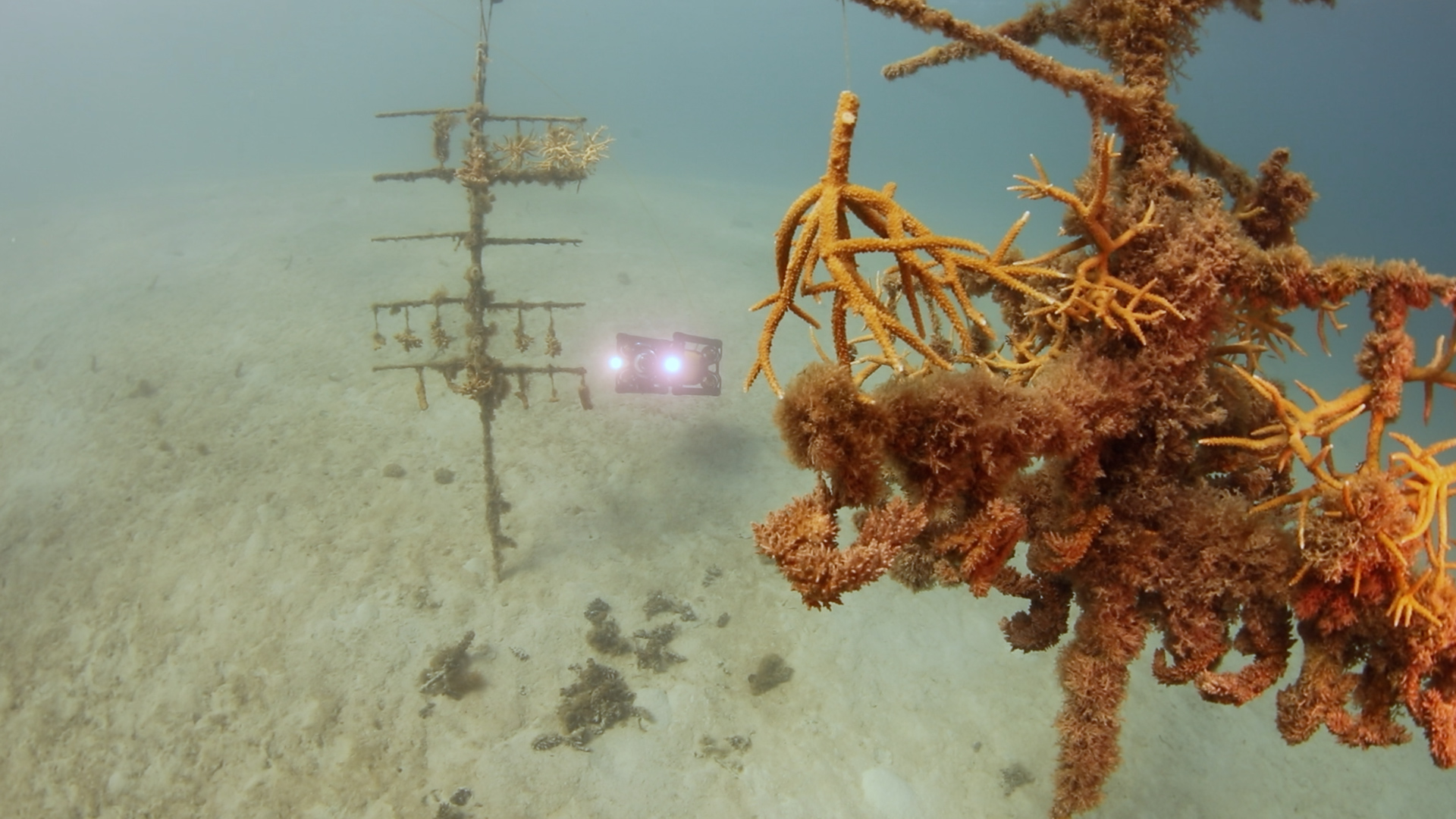
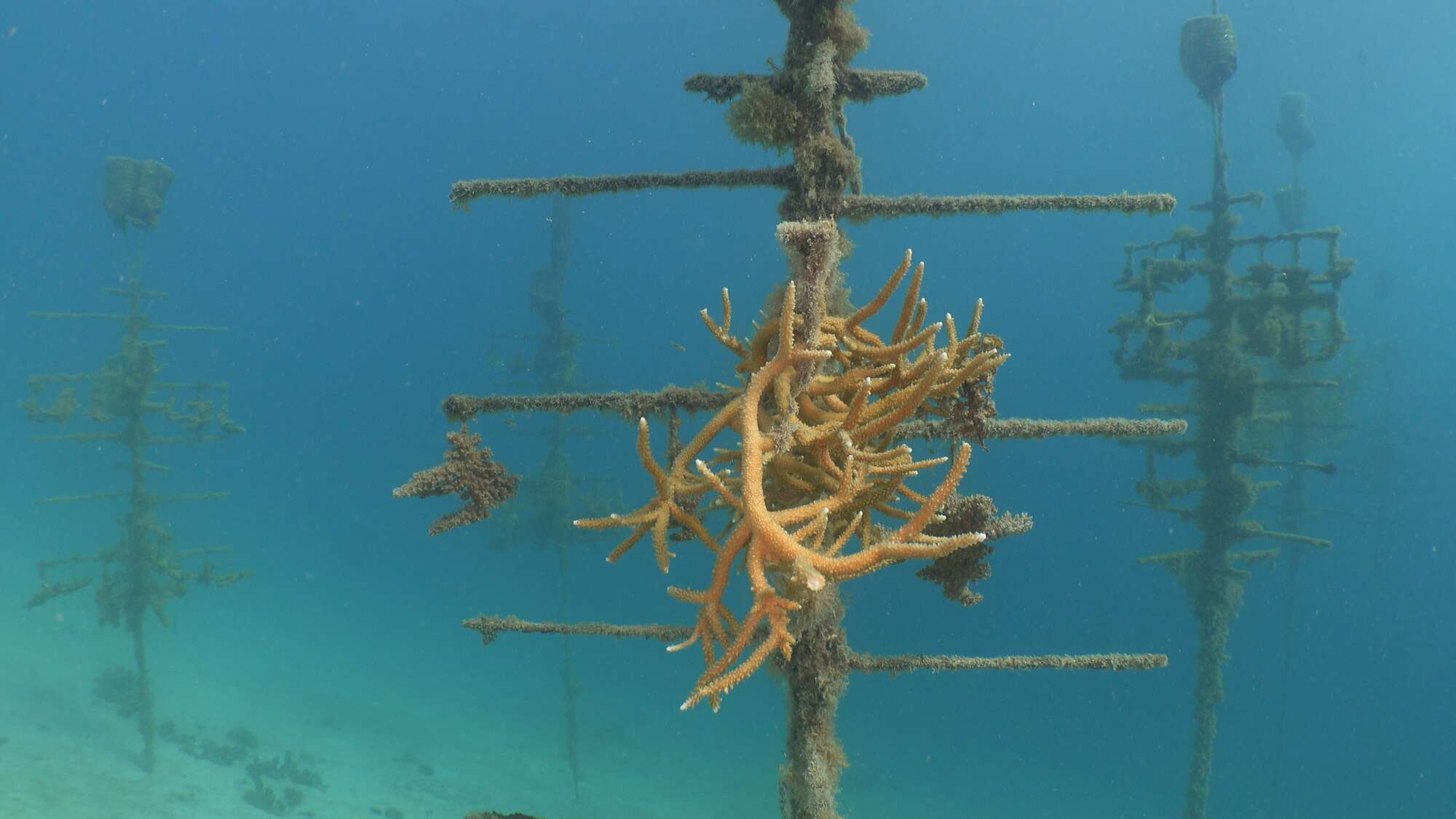
Coral nursery monitoring
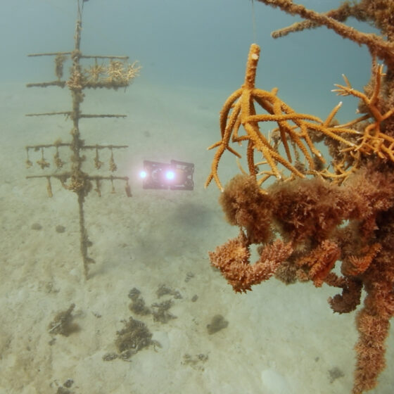
Capture close-range imagery around nursery structures to document coral growth, survival and condition.
Benthic habitat imaging
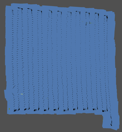
Collect overlapping still images over reef terrain for 3D models and habitat mapping.
Artificial reef inspection
Survey complex reef structures from multiple angles to monitor colonisation, stability and ecological use.
Fish transects
Collect steady forward-facing video and synchronised stereo imagery along repeatable transects for fish identification and monitoring.
Environmental monitoring
Pair imagery with sensor data such as temperature, salinity, dissolved oxygen, turbidity, PAR or acoustics.
Restoration assessment
Return to the same sites over time to document change and provide visual evidence of restoration outcomes.
Protected-area validation
Ground-truth priority reef areas using in-water observations from defined survey zones.
How Boxfish AUVs create value for coral reef science
Coral reef habitats are rarely flat or simple. Monitoring programmes often need to work across reef slopes, coral nursery structures and artificial reefs, while maintaining consistent survey quality.
The Boxfish AUV combines precise navigation, hovering capability and obstacle avoidance to operate safely around complex reef structures while maintaining consistent image quality. Boxfish mission planning supports waypoints, grid patterns and transects, with adjustable mission parameters such as vehicle pitch, speed, lighting, distance from objects, depth and altitude.
High-quality imagery is fundamental to effective reef monitoring. The Boxfish AUV supports RAW image capture, allowing to retain maximum image detail for photogrammetry, habitat mapping and scientific analysis. Precise camera controls and adaptable mission planning allow survey geometry, viewing angle and image overlap to be optimised for each project. When operated at low altitude, the system can capture imagery with sub-millimetre resolution suitable for detailed assessment of coral condition, growth and structural complexity.
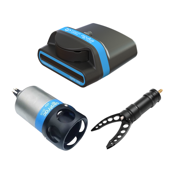
Boxfish’s ability to support environmental sensors makes it suitable for teams wanting to collect visual and environmental data together. The internal marine science positioning document also describes Boxfish AUV solutions as supporting multiple sensors, photogrammetry, fish census surveys and high-quality video.
Supporting modern robotics, 3D mapping and AI workflows
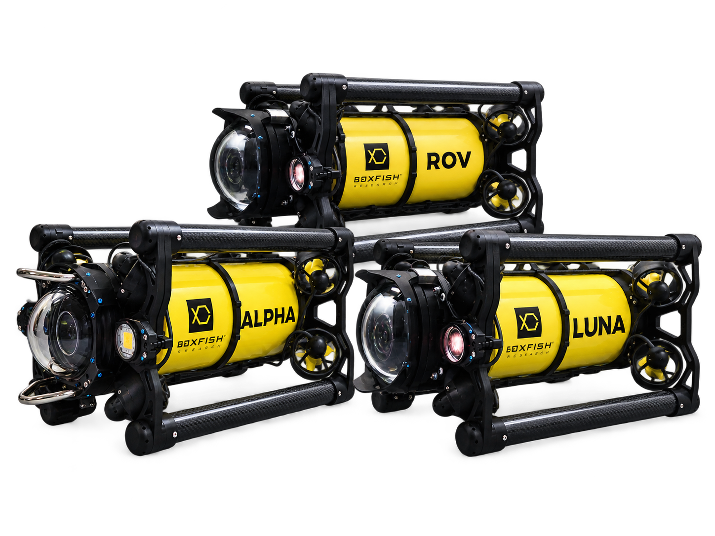
Reef monitoring is increasingly moving towards robotics, 3D mapping and AI-assisted analysis. The Boxfish AUV Research Kit offers an open platform for custom development with access via API access for development of mission-specific behaviours, species recognition, AI workflows and new autonomy capabilities, enabling reef monitoring programmes to evolve beyond standard approach to data collection.